Skip the Ride
Local Walking Trails
Walking Trails
Putting more steps into your day can help manage your weight and reduce the risk of high blood pressure, Type 2 diabetes, and high cholesterol. Lace up and use one of the many public sidewalks, walking trails, or marked paths that lead to our campuses and make your commute a healthy one.
A walk along a peaceful and scenic trail makes walking all the more fun. The City of Rochester makes it easy to get started with a detailed trail and biking map. Below is information about the three trails near the River Campus and Medical Center: the Genesee Riverway Trail, Erie Canal Trail, and Lehigh Valley Trail.
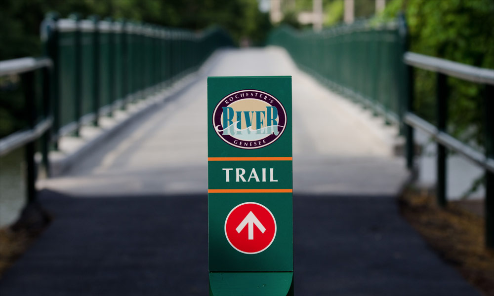
Genesee Riverway Trail
The Genesee Riverway Trail (GRT) extends through the scenic, historic, and cultural heart of Rochester, from the Erie Canal to downtown and Lake Ontario. It provides pedestrian access to the Genesee River—including its scenic gorge and three waterfalls—plus eight pedestrian bridges and eleven parks, four of which were designed by Frederick Law Olmsted. GRT links nine historic districts and is labeled with a system of wayfinding and interpretive signs to encourage and guide public use. Most of the trail is paved and easily accessible. Steep, rough, or narrow sections of the trail are clearly marked. Download the Genesee Riverway and Trail Guide.
Erie Canal Trail
The Erie Canal Trail connects directly to the Genesee Riverway Trail. It’s a great way to access the University of Rochester from many western, eastern, and southern (via the Lehigh Valley Trail) suburbs. It is a recreation trail that spans the entire state.
Lehigh Valley Trail
This 15-mile linear trail park is located in the southern-most portion of Monroe County, beginning at the Genesee River and extending through the towns of Rush and Mendon to the Ontario County line, and extending north to the town of Henrietta. See a map and information about the information about the Lehigh Valley Trail.